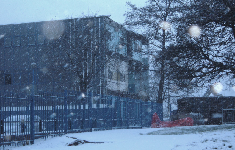
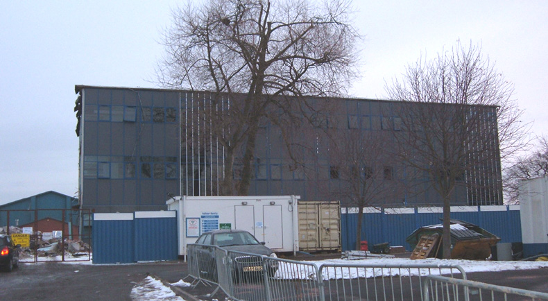
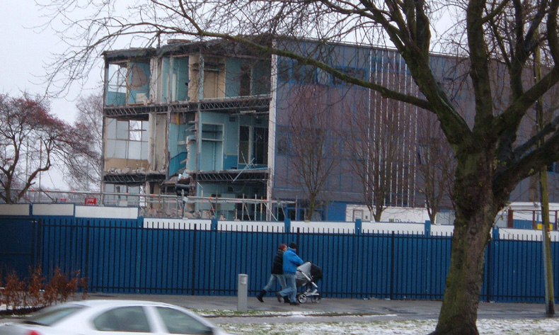
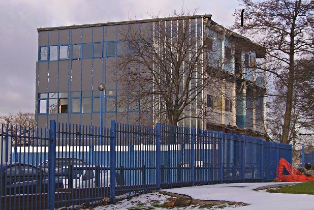
This page is a collection of sequential photos taken mostly by ex-Poundswickian Peter Massey during November and December 2010. I am grateful for his co-operation and perseverance, without which there would have been almost no record of Poundswick's demise. The photographs are in two sections: the first sequence was taken from the Greenwood Road entrance, and the second from Simonsway. I have left the photos uncaptioned other than for the dates: you will know what you are looking at!
Section 1 : From
Greenwood Road
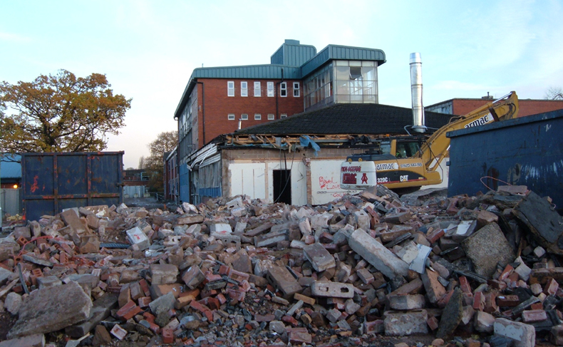
09.11.2010
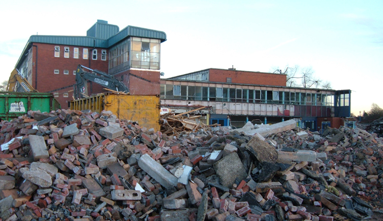
15.11.2010
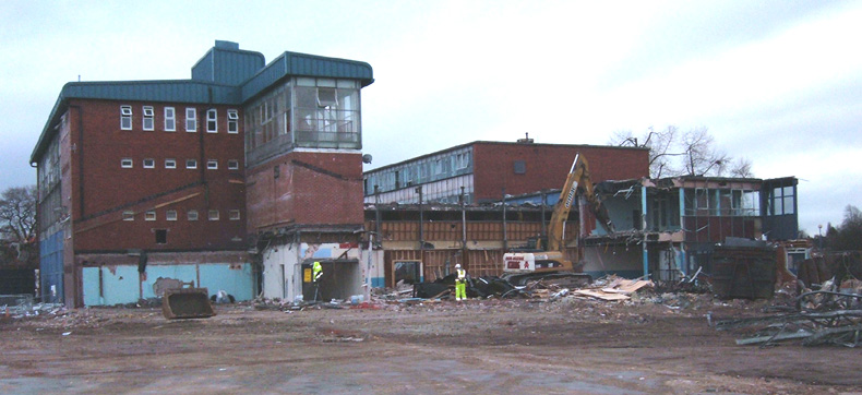
22.11.2010
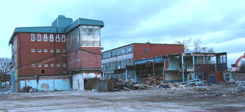
24.11.2010
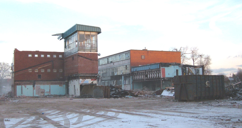
29.11.2010
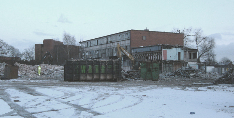
30.11.2010. The large brick building in the background
is the Computer Centre on Cornfield Drive.
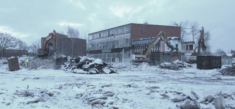
01.12.2010
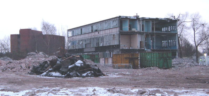
03.12.2010
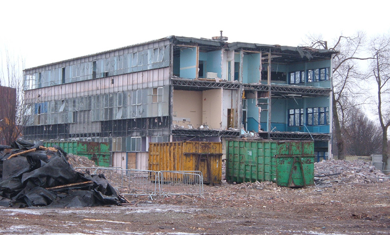
04.12.2010
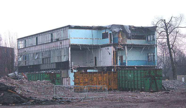
06.12.2010
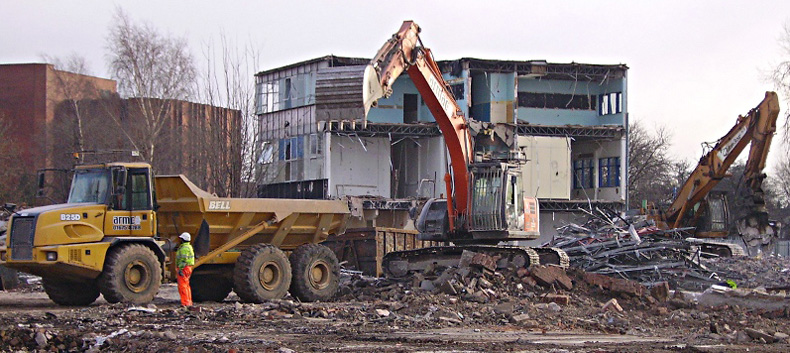
09.12.2010
Section 2: From Simonsway
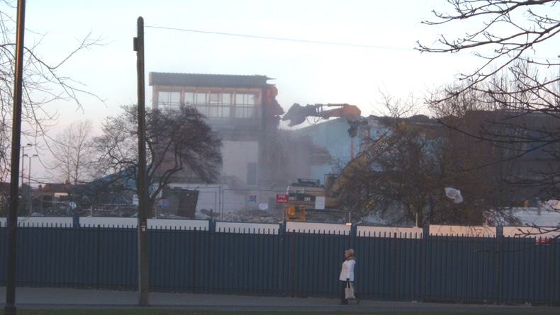
29.11.2010
01.12.2010
03.12.2010
04.12.2010
09.12.2010
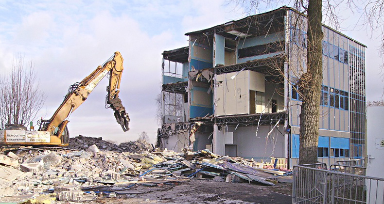
09.12.2010
Within a few weeks of the last wall falling, the piles of rubble had been removed. The area was then grassed over and by the summer of 2011 passers-by would never have known that a Grammar School called Poundswick once stood here.
|
|
For reference I
thought it would be nice to include this aerial photograph courtesy of
Google maps. It was evidently taken in 2009 during the early
stages of construction of the Academy building. At this time
almost all the original Poundswick buildings were still intact (only the
Music and Arts Centre and the Caretaker's bungalow had gone). Note the 'new' (2002) blue roof on the gym block, and the huge 2001-built Sports Centre which is now part of the Academy complex. Other items of interest are the dining hall extension north of the Science Block (with the light grey concentric-squared roof) and the original front lawn which was long ago converted into a staff car park. No doubt Mr. Google's satellite will pass over the ancient hamlet of Poundswick again at some time in the future. When it does it will be interesting to include the equivalent photo then. |
Return to 'The end of Poundswick'
|
|
